Following hard-on-its-heels of the ground-breaking introduction of a heritage identification programme for Plettenberg Bay and its environs initiated two years ago, the Van Plettenberg Historical Society together with Plettenberg Bay Rotary, has now participated actively in the production of an environmental record of the historic, sporting and social features of the area. This is probably the first of its kind to be produced in South Africa and will hopefully be the precursor to many more.
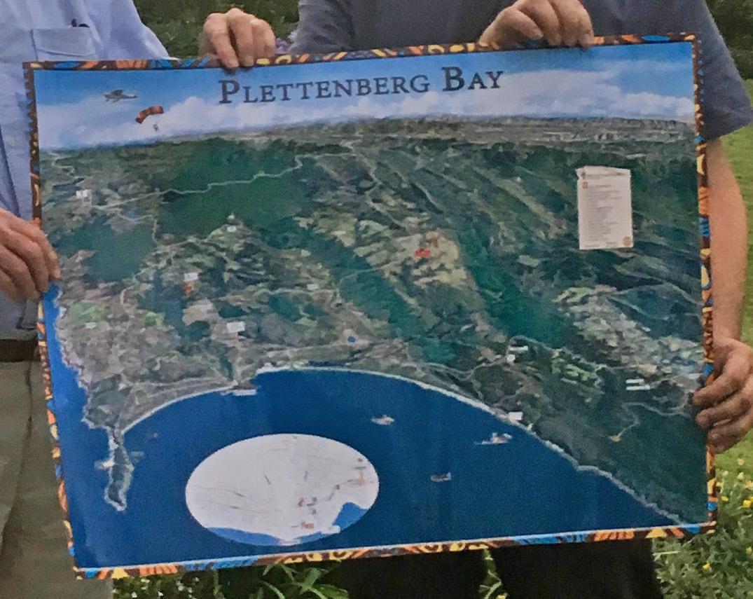
The design and research for the map consumed many tens of hours by the team of William and Astrid Ashurst of the Dreamlink Design Studio in Plettenberg Bay. The Al-size map illustrates the geographical features of the area from West of Robberg to Kurland in dramatic representation and in full colour. The obverse is a directory of services available in the town where it will be distributed free to all accommodation and retail facilities. In excess of 20 000 maps will be printed.
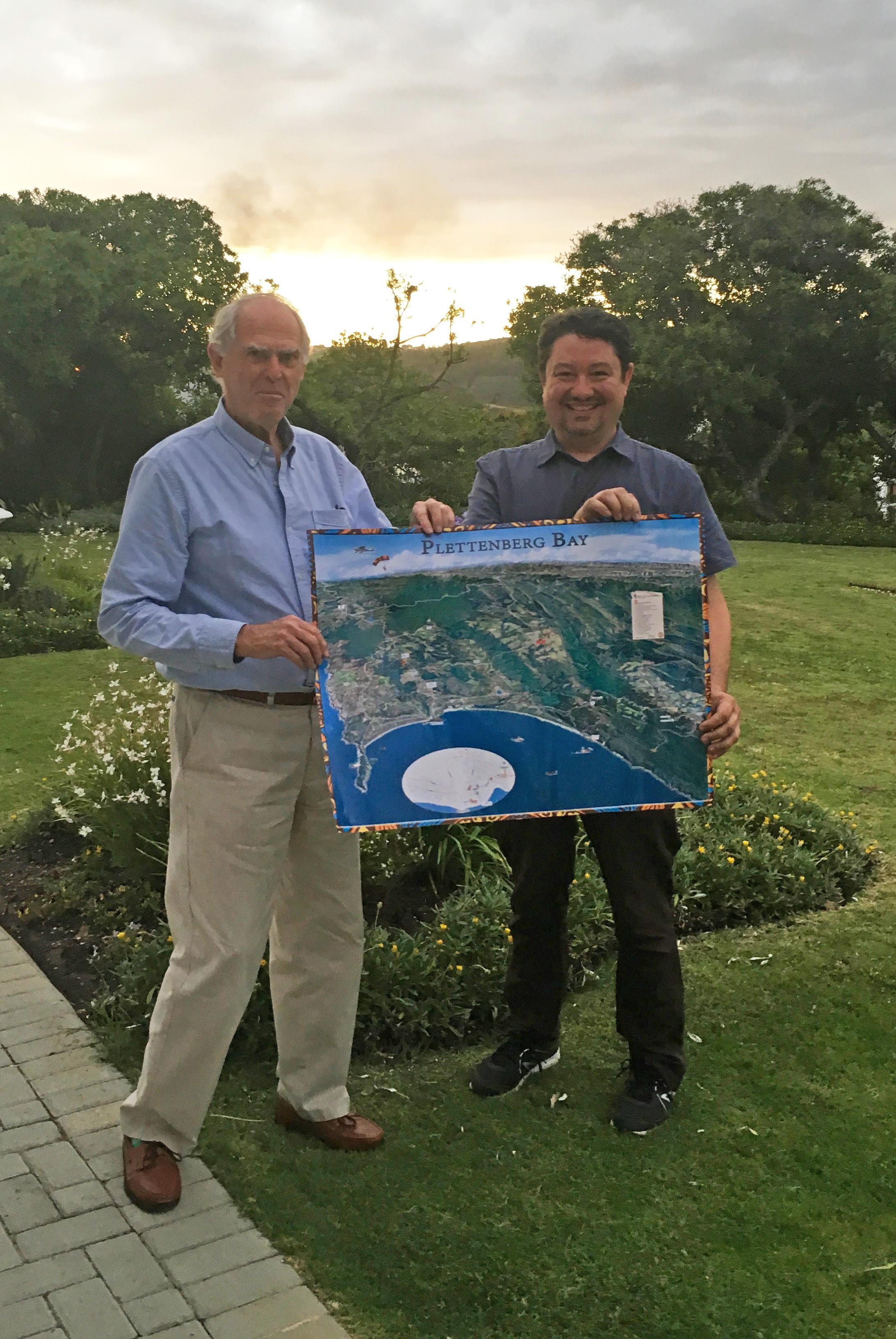
The recent annual general meeting of the VPHS served as the ideal opportunity for William Ashurst (right) to present the map to the VPHS represented by project co-ordinator David Rowe.
Disclaimer: Any views expressed by individuals and organisations are their own and do not in any way represent the views of The Heritage Portal.

