Disclaimer: Any views expressed by individuals and organisations are their own and do not in any way represent the views of The Heritage Portal. If you find any mistakes or historical inaccuracies, please contact the editor.
We found this brief article from the Randburg Sun when it fell out of an an old book. It was published in the late 1990s and explores the fascinating history of Randburg.
The earliest inhabitants of the area now called Randburg were tribesman roaming the open veld. Examples of their Iron Age craftsmanship can still be found on some of the local koppies. Little is known of the culture and history of these early people.
What we call ‘history’ – that is what is documented and recorded – starts in Randburg in the middle of the last century. In the 1850s four farms were settled by Boer pioneers. These were called Klipfontein, Driefontein, Olievenhoutspoort and Boskop, and were later subdivided amongst the sons of the farmers, as was the usual tradition. The original farm Driefontein extended from the Northern Boundary of Bryanston to the present Braamfontein! It was later subdivided into nine plots by his sons.
Charles Rocher, a Frenchman from Bordeaux, bought one of the sections and named it after his mother town. He was one of the early pioneers of the Cape deciduous farming on the Transvaal. Some of the older plots in the area still have fruit trees growing in groves. A portion of the Boskop farm was brought by the famous Rand entrepreneur, Dale Lace, who converted a farmhouse into a ‘country residence’, as was the style of the time. In 1929 Tom Kelly restored the home and named it ‘Hy-Many’ which is presently being considered as a National Monument.
Hy Many House
With the discovery of Gold, Randburg became fashionable as an investment for rich English gentlemen like Abe Bailey. Street names like Carlton Road, Church Street and Pritchard Street sprang up in the veld. Perhaps it was rumours of gold that caused the purchases, or it could have been the fabulous hunting that existed in Randburg. Antelopes and birds teemed in the hills and velleys and the name Hunters Hill bears witness to these early, never-to-be-repeated times when game was plentiful in this corner of Gauteng.
A major influx to Randburg came with the great depression of 1928-1934 and the crippling drought which lasted four years. Thousands of platteland farmers flocked to the city, but many preferred the rural areas and settled in Randburg. These pioneers constructed their own homes, without any assistance from the state. Life was simple and unhurried and there was plenty of food for the pot. Development began in 1950, when there were less than 9000 inhabitants in Randburg. Ten years alter there were 13 townships, a newspaper called ‘Noord-Nuus’ and shops and businesses were opening apace.
With development came the question of municipal status – should Randburg be part od Johannesburg or not? In 1959 the name of Randburg was decided by means of a competition (other names submitted were Fairydale, Ego and Zuriel) and Randburg was inaugurated as a municipality.
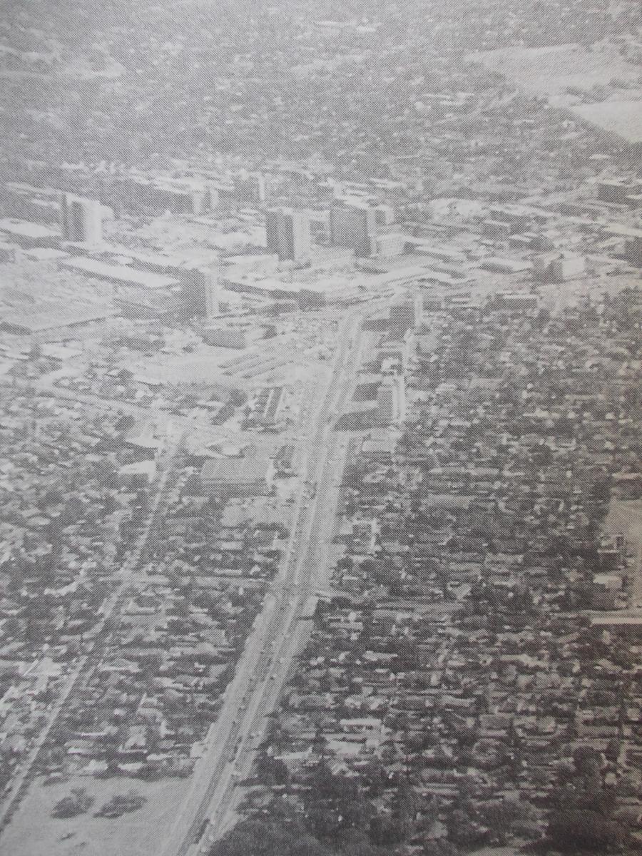
Old photo of Ranburg from the air
In 1968 Johannesburg put forward the idea of incorporating Randburg into its municipal boundaries, but Randburg remained independent and today its jurisdiction is almost 100 square kilometres. In 1972 the Town Council set guidelines for the development of townships, residential areas, the CBD and industrial areas. The success of this plan is seen in the development of Randburg, undoubtedly a boom town with tremendous future potential.
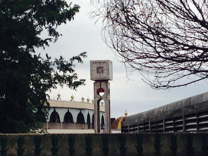
The well known clock at the entrance to the Randburg pedestrian mall
[Plenty has changed since this article was published. Randburg now forms part of the City of Johannesburg (Region B).]
Comments will load below. If for any reason none appear click here for some troubleshooting tips. If you would like to post a comment and need instructions click here.


