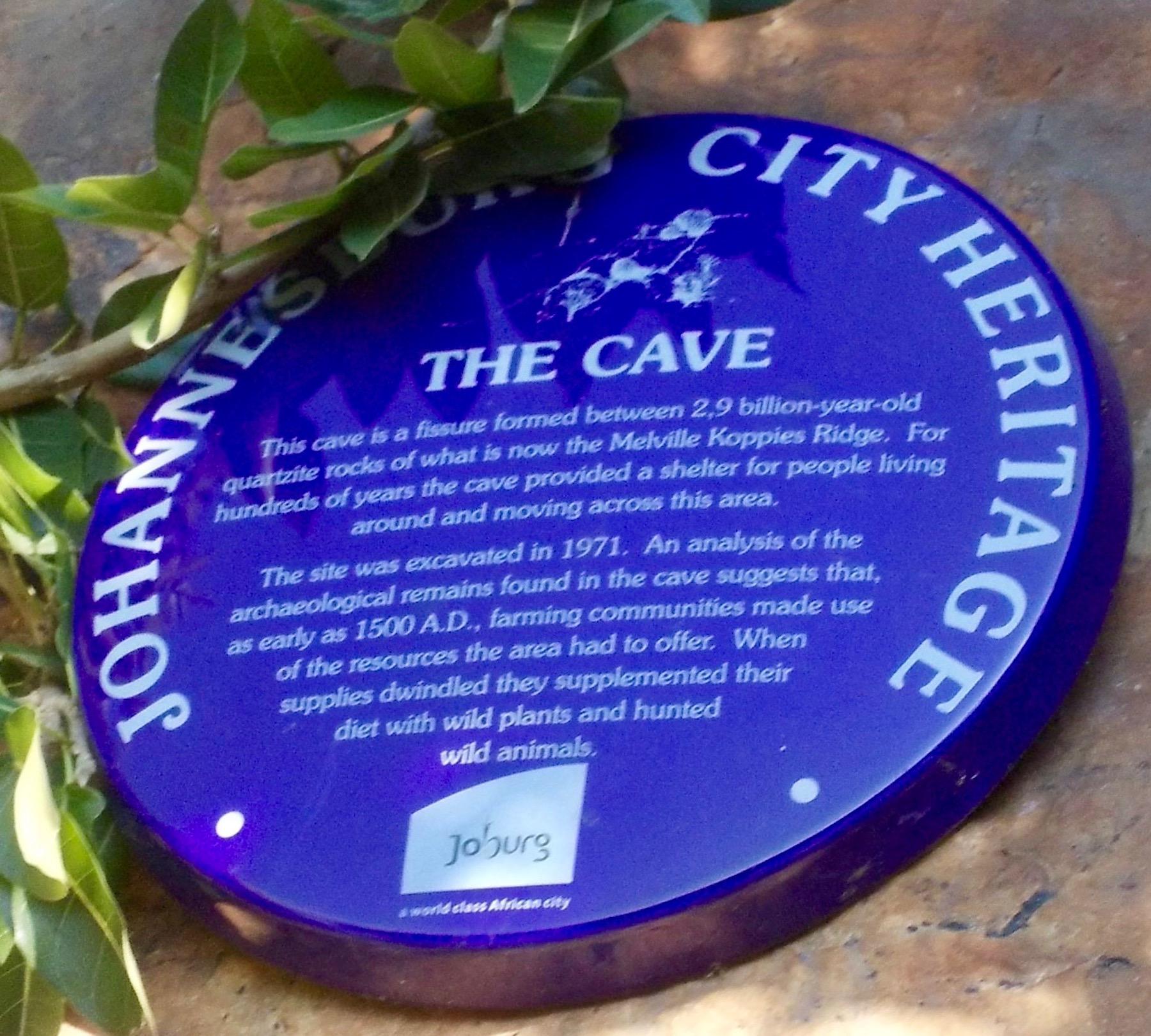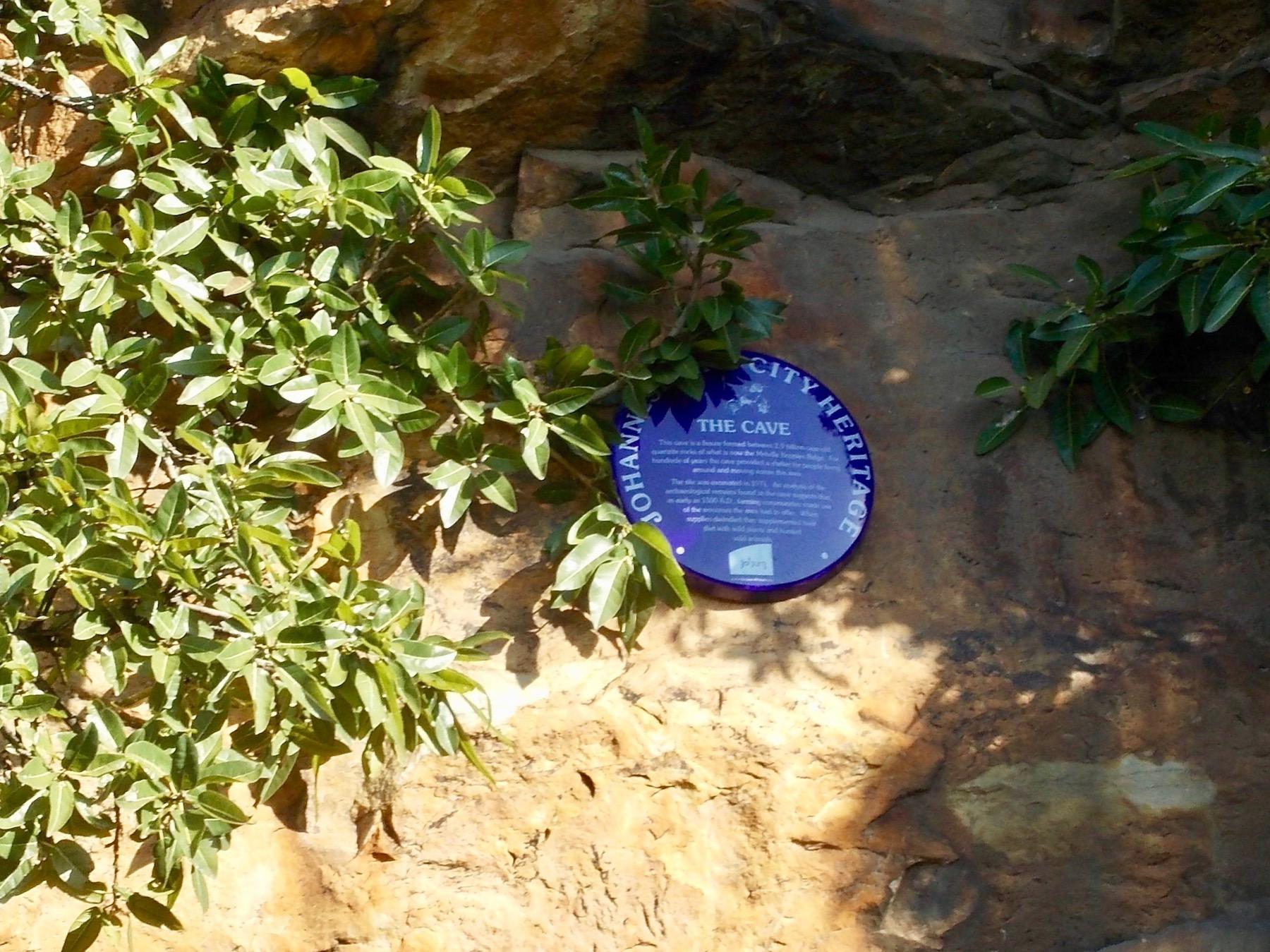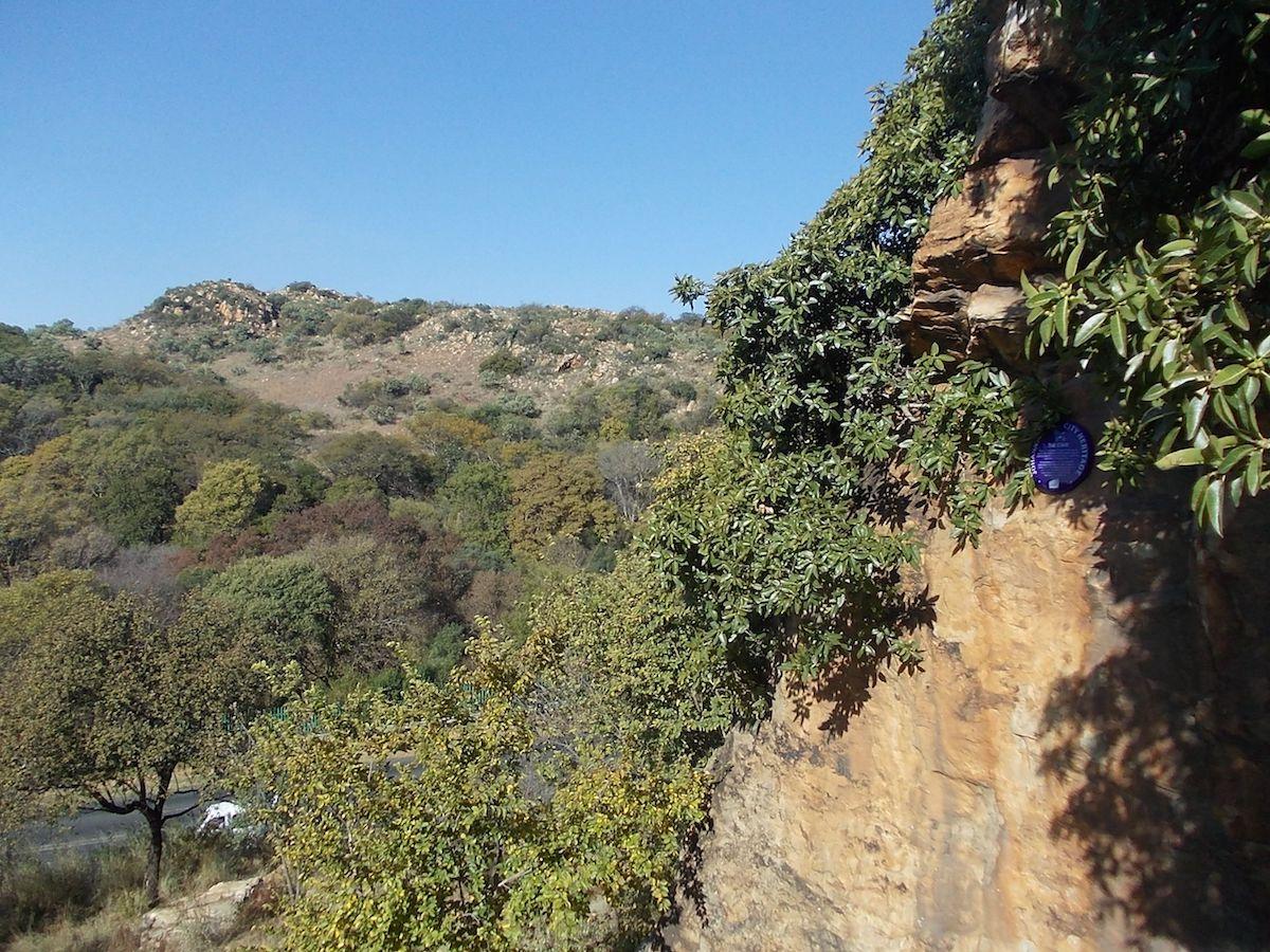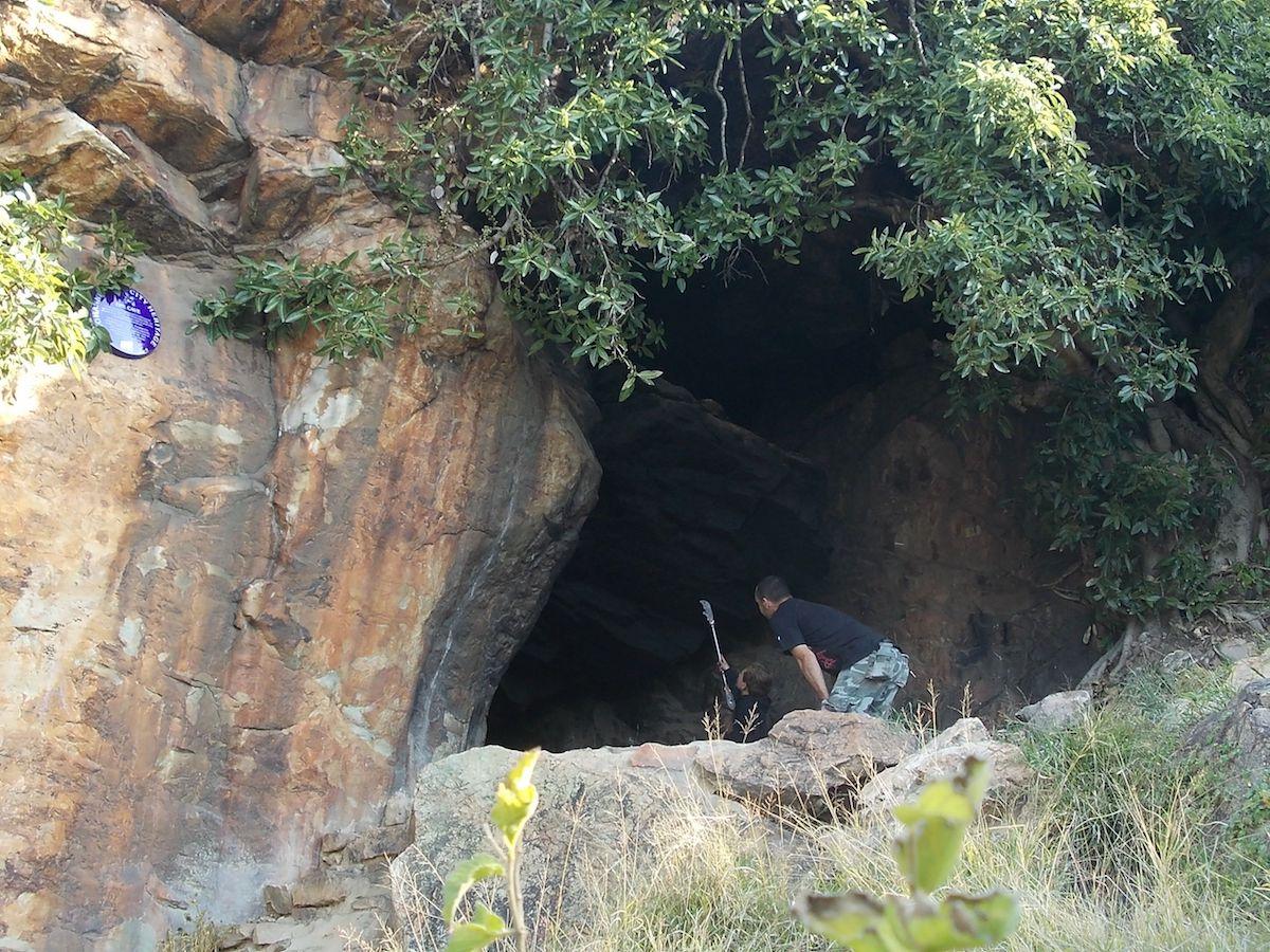
The cave is a fissure formed between 2,9 billion-year-old quartzite rocks of what is now the a Melville Koppies Ridge. For hundreds of years the cave provided a shelter for people living around and moving across the area. The site was excavated in 1971. An analysis of the archaeological remains found in the cave suggests that, as early as 1500 A.D., farming communities made use of the resources the area had to offer. When supplies dwindled they supplemented their diet with wild plants and hunted animals.
Plaque Location:
Plaque Address:
Western portion of Melville Koppies, off Beyers Naude Drive
Plaque Categories:
Plaque Organisation:
Photographs of The Cave (The Heritage Portal)


